


Tamaño de esta previsualización PNG del archivo SVG: 600 × 600 píxeles. Otras resoluciones: 240 × 240 píxeles · 480 × 480 píxeles · 768 × 768 píxeles · 1024 × 1024 píxeles · 2048 × 2048 píxeles.
Ver la imagen en su resolución original ((Imagen SVG, nominalmente 600 × 600 pixels, tamaño de archivo: 14 kB))
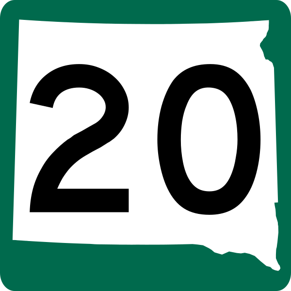
| Descripción | South Dakota state highway marker. Signs use FHWA type D font (Type C only with approval of engineer). |
| Fecha | |
| Fuente | http://www.sddot.com/business/design/plates/docs/s63220.pdf |
| Autor | Fredddie |
| Esta imagen de geometría simple no es protegible por derechos de autor y, por tanto, es de dominio público, ya que está compuesta en su totalidad por información que es propiedad común y no contiene ninguna autoría original. |  |
Historial del archivo
Haz clic sobre una fecha y hora para ver el archivo tal como apareció en ese momento.
| Fecha y hora | Miniatura | Dimensiones | Usuario | Comentario | |
|---|---|---|---|---|---|
| actual | 02:09 12 may 2010 | | 600 × 600 (14 kB) | Fredddie | |
| 01:38 6 ene 2007 |  | 385 × 385 (24 kB) | Master son | {{Information| |Description=South Dakota state highway marker. Uses the FHWA font (type D font. Type C only with approval of engineer) |Source=http://www.sddot.com/pe/roaddesign/docs/Standard_Plates/English/s63220.pdf |Date=2007.1.5 |Author=[[User:Master_ | |
| 15:57 20 dic 2006 |  | 1728 × 1731 (204 kB) | Master son | Reverted to earlier revision | |
| 15:29 20 dic 2006 |  | 385 × 385 (204 kB) | Master son | {{Information| |Description=South Dakota state Highway marker. Uses the FHWA font (type D font. Type C only with approval of engineer) |Source=http://www.sddot.com/pe/roaddesign/docs/Standard_Plates/English/s63220.pdf |Date=10/5/2006 |Author=Scott Onson | | |
| 03:29 21 oct 2006 |  | 1728 × 1731 (204 kB) | Master son | {{Information| |Description=Nebraska state Highway marker. Uses the FHWA font (type D font. Type C only with approval of engineer) |Source=http://www.sddot.com/pe/roaddesign/docs/Standard_Plates/English/s63220.pdf |Date=10/5/2006 |Author=Scott Onson |Perm | |
| 21:53 5 oct 2006 |  | 1728 × 1731 (197 kB) | Master son | {{Information| |Description=Nebraska state Highway marker. Uses the FHWA font (type D font. Type C only with approval of engineer) |Source=http://www.sddot.com/pe/roaddesign/docs/Standard_Plates/English/s63220.pdf |Date=10/5/2006 |Author=Scott Onson |Per |
Usos del archivo
Las siguientes páginas usan este archivo:
- Condado de Clark (Dakota del Sur)
- Condado de Codington
- Condado de Corson
- Condado de Dewey (Dakota del Sur)
- Condado de Faulk
- Condado de Grant (Dakota del Sur)
- Condado de Harding (Dakota del Sur)
- Condado de Perkins (Dakota del Sur)
- Condado de Potter (Dakota del Sur)
- Condado de Spink
- Condado de Walworth (Dakota del Sur)
- Condado de Ziebach
- Anexo:Carreteras estatales de Dakota del Sur
- Anexo:Carreteras estatales de Minnesota
Uso global del archivo
Las wikis siguientes utilizan este archivo:
- Uso en azb.wikipedia.org
- Uso en en.wikipedia.org
- Ziebach County, South Dakota
- Walworth County, South Dakota
- Spink County, South Dakota
- Potter County, South Dakota
- Perkins County, South Dakota
- Harding County, South Dakota
- Grant County, South Dakota
- Faulk County, South Dakota
- Dewey County, South Dakota
- Corson County, South Dakota
- Codington County, South Dakota
- Clark County, South Dakota
- Watertown, South Dakota
- List of state highways in South Dakota
- List of crossings of the Missouri River
- List of highways numbered 20
- Minnesota State Highway 40
- Wikipedia:WikiProject U.S. Roads/Redirects/South Dakota
- South Dakota Highway 45
- South Dakota Highway 47
- South Dakota Highway 21
- South Dakota Highway 25
- South Dakota Highway 15
- South Dakota Highway 75
- South Dakota Highway 19
- South Dakota Highway 20
- South Dakota Highway 65
- South Dakota Highway 73
- South Dakota Highway 37
- Interstate 29 in South Dakota
- South Dakota Highway 130
- U.S. Route 12 in South Dakota
- Numbered highways in the United States
- South Dakota Highway 158
- South Dakota Highway 79
- South Dakota Highway 1804
- South Dakota Highway 63
- South Dakota Highway 144
- South Dakota Highway 1806
- List of shortest state highways in the United States
- U.S. Route 83 in South Dakota
- Uso en en.wikivoyage.org
- Uso en et.wikipedia.org
- Uso en fr.teknopedia.teknokrat.ac.id
- Uso en ja.wikipedia.org
Ver más uso global de este archivo.